Llangyfelach Ward Profile
Information, Research & GIS Team, City and County of Swansea, May 2017
Population:
5,000 (source: mid-2015 estimates, rounded – Office for National Statistics / ONS)
Councillors (Electoral vote, May 2017):
Gareth Sullivan (Independents @ Swansea – 564). Turnout = 38.68%.
Welsh Government and UK Parliamentary Constituency:
Gower
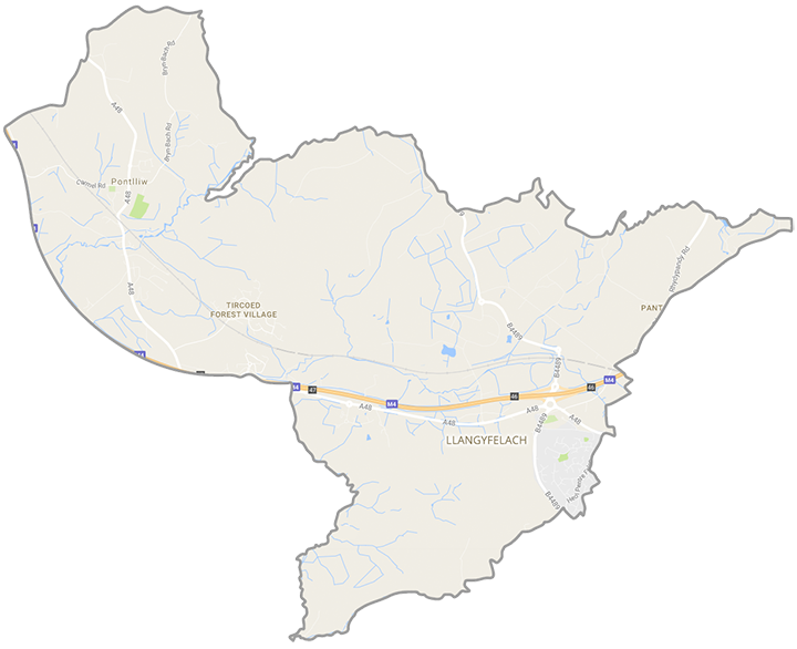
- Location: Approximately 9 km north west of the city centre and consisting of the Pontlliw, Llangyfelach, Rhydypandy and Tircoed localities
- Neighbouring Wards: Mawr, Morriston, Mynyddbach, Penderry, Penllergaer, Penyrheol, Pontarddulais
- Regeneration Designations: Rural Development Plan eligible ward
- Area: 1,711 hectares (2011 Census figure) / 17.11 km²
- Population Density: 2.9 people per hectare (2011 Census)
- Population Change (2005 to 2015): +0 / +0% (ONS estimates, rounded)
- Employment: 1,200 (ONS workplace estimate, 2015). Major employers: Welsh Government regional offices, Electronic Motion Systems, Afon Tinplate.
